
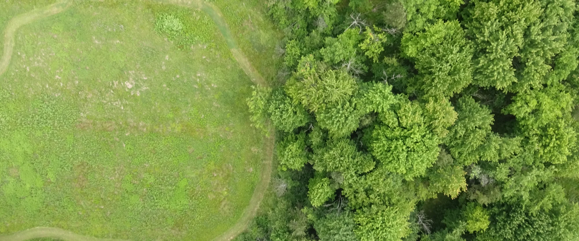
Run workflows when local files arrive
Process drone imagery on your workstation or test cloud storage-event workflows locally using the same task interface.
Articles, releases, customer stories, and videos from Tilebox and teams working with satellite data.
Process drone imagery on your workstation or test cloud storage-event workflows locally using the same task interface.
Develop and test Python workflows directly on Windows, with native PowerShell support and WSL as an option.
Process new files as they arrive and iterate on your geospatial code, even locally, without touching infrastructure code.
We’ve rebuilt the website and updated the console quickstart.
See what’s running, what’s waiting, and what needs attention in the new Console Dashboard.
Keep monitoring through clouds and darkness with Sentinel-1 radar imagery, now available through Tilebox.
Follow a job’s progress and find the steps behind a slowdown or failure in the redesigned job view.
Find and use Sentinel-2 satellite imagery with your Tilebox account—no separate provider account required.
Narrow your search using your dataset’s own fields, alongside location and time.
Dataset results can now connect directly to their files, including imagery you can read without downloading in full.
Manage workflow versions in the Console, switch deployments, and schedule work in your local time zone.
Give your coding agent a way to test workflow changes against real runs and use the results to make the next change.
Human and agents can inspect datasets, query datapoints, submit workflow jobs, read logs, and search docs without leaving the shell.
Built-in workflow monitoring brings timing, logs, and failures together in the Console.
Decide which steps are essential and which can fail without stopping the whole job.
Let compatible AI assistants work with your Tilebox datasets and workflows through the new MCP server.
The redesigned job list helps you narrow down busy workspaces and check progress without opening every run.
The redesigned dataset explorer shows geographic coverage and image previews together in the Console.
A cloud-free Sentinel-2 mosaic of Boulder, Colorado created for SatCamp 25, exploring how satellite imagery connects global perspectives to local places.
Custom progress indicators show how much work a job has completed, using measures you define.
Teams using Go can now access datasets and run workflows without switching languages.
Search satellite observations and your own data catalogs by where and when the data was captured.
Create catalogs for your team’s own records, from sensor measurements to internal data collections.
GeoAI needs an operating layer that solves existing engineering bottlenecks to deliver on its real potential at scale
Tilebox-skilled agents offer efficient, verified, reproducible geospatial workflows to diversify and scale timely climate analytics.
Parametric insurance promises a faster, fairer model for managing climate risk. Tilebox provides the agent-ready infrastructure that finally lets it scale.
Tilebox validation on an offline, flight-representative edge hardware.
EarthSavvy uses Tilebox for satellite data discovery and workflow orchestration, running its own analysis across hundreds of production jobs a day and delivering results to a customer dashboard.
The ADLER missions, powered by Tilebox, offer a compelling model for organizations engaged in space-based data initiatives.
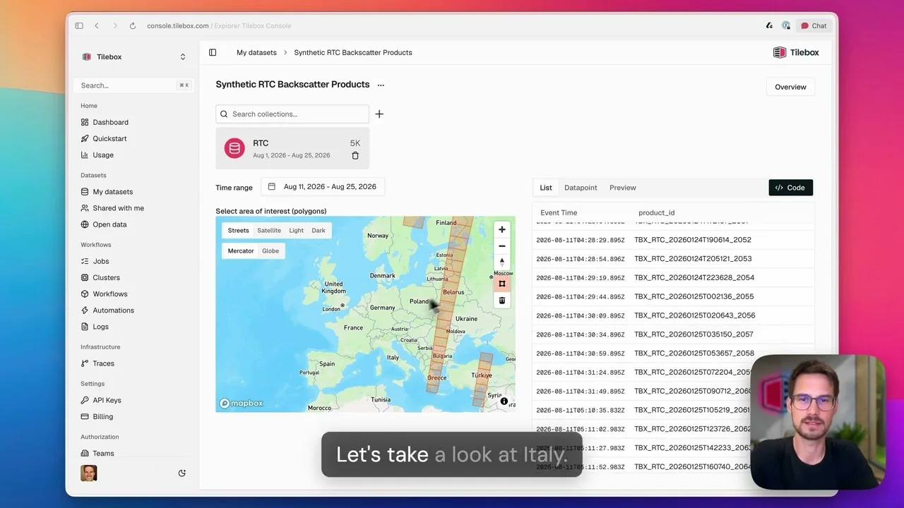
Catalog 5,000 products from cloud storage, query their metadata, and automatically ingest new arrivals.
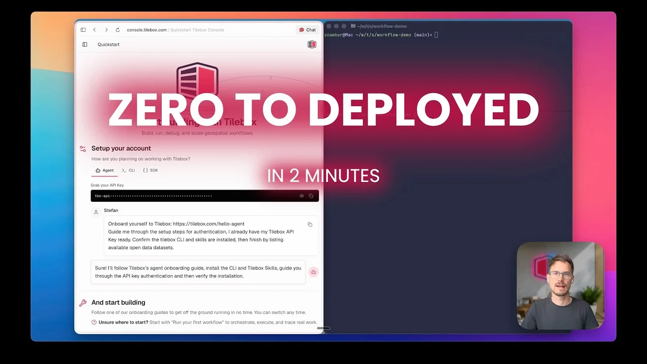
Start a Docker runner, deploy a Python workflow, and inspect its first job, logs, and trace.
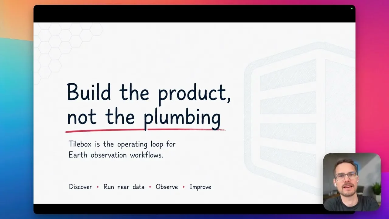
See how Tilebox connects typed data discovery, distributed workflow execution, and runtime observability in one operating loop.
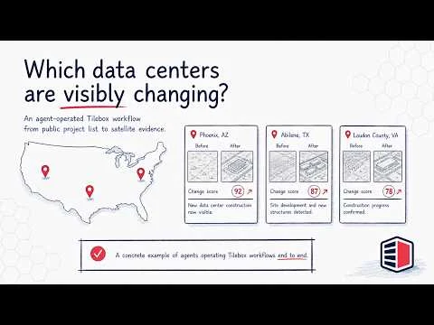
Build, deploy, and refine a US data center growth tracker with an AI agent and real satellite data.