
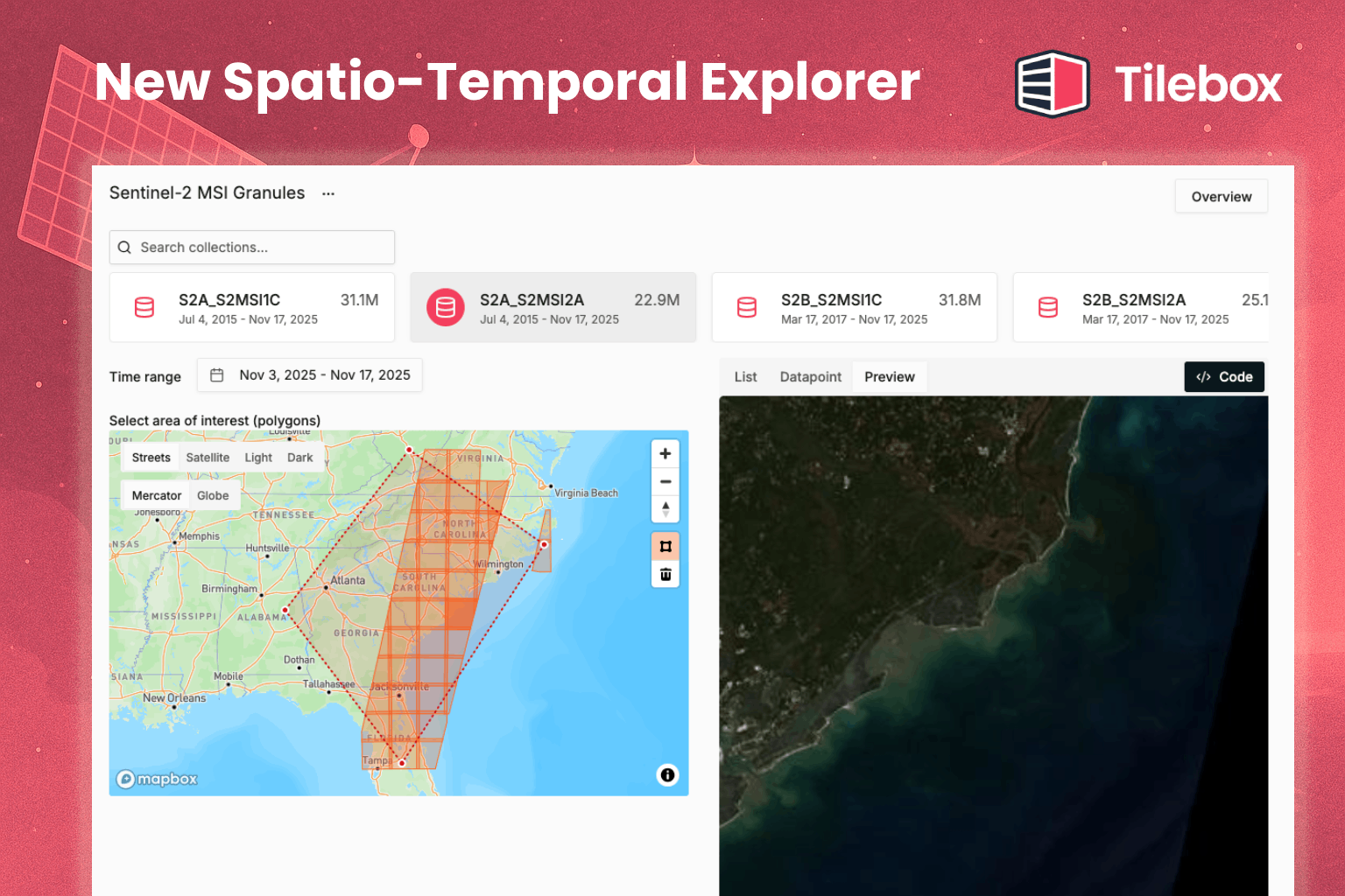
The dataset explorer now shows where individual observations fall on the map, alongside thumbnails and larger image previews. You can inspect both coverage and content directly in the Console before choosing data for your work.
For satellite imagery, this helps answer two questions together: does this image cover the area I need, and what does it show? You don’t have to judge a result from its metadata alone.
When you’re ready to use a result in your own workflow, the updated Export as Code option also includes an example for accessing its stored data.
Open the Console to explore a dataset.