
GeoAI Can't Scale On Models Alone: It Needs An Operating Layer
GeoAI needs an operating layer that solves existing engineering bottlenecks to deliver on its real potential at scale
Technical guides, explanations, and perspectives on satellite data and geospatial workflows.
GeoAI needs an operating layer that solves existing engineering bottlenecks to deliver on its real potential at scale
Tilebox-skilled agents offer efficient, verified, reproducible geospatial workflows to diversify and scale timely climate analytics.
Parametric insurance promises a faster, fairer model for managing climate risk. Tilebox provides the agent-ready infrastructure that finally lets it scale.
Eliminate the undifferentiated work and focus on developing and scaling your geospatial product.
Skip weeks of integration work. With Tilebox, a new data source is just a new dataset name and one additional line of code.
Whether you are exploring geospatial data for the first time, or a veteran engineer, here are three ways Tilebox makes it easier to get from query to code.
Query Sentinel-2 scenes by location, time, and cloud cover in five lines of Python. One package, no ESA account or API credentials. Full script included.
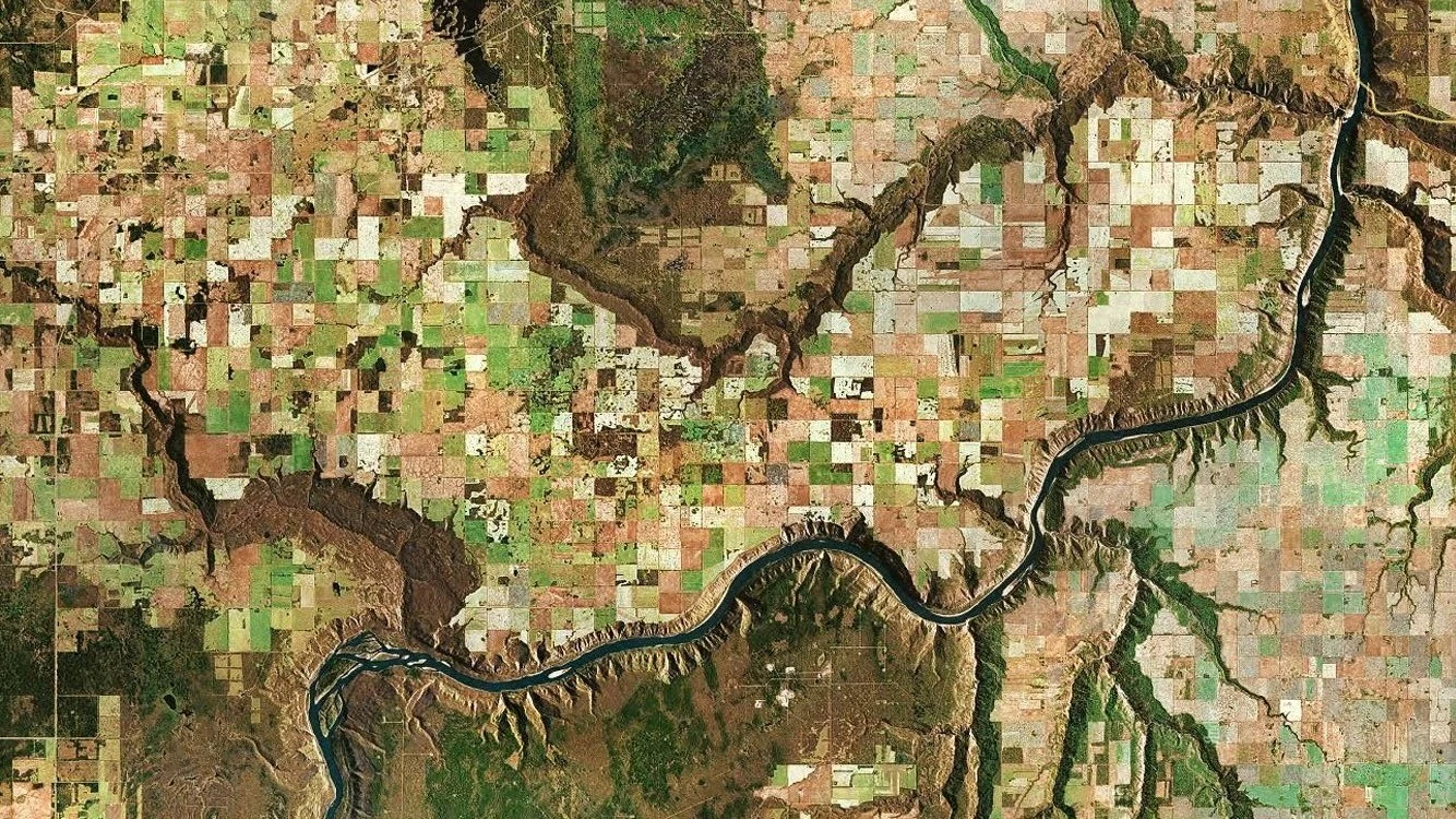
Learn how the Tilebox MCP Server connects AI assistants to live dataset schemas and workflow statuses, grounding LLM responses in real-time space data.

Six workflow patterns for geospatial data processing with Tilebox, from in-orbit edge computing and near-real-time triggers to batch and scheduled jobs.
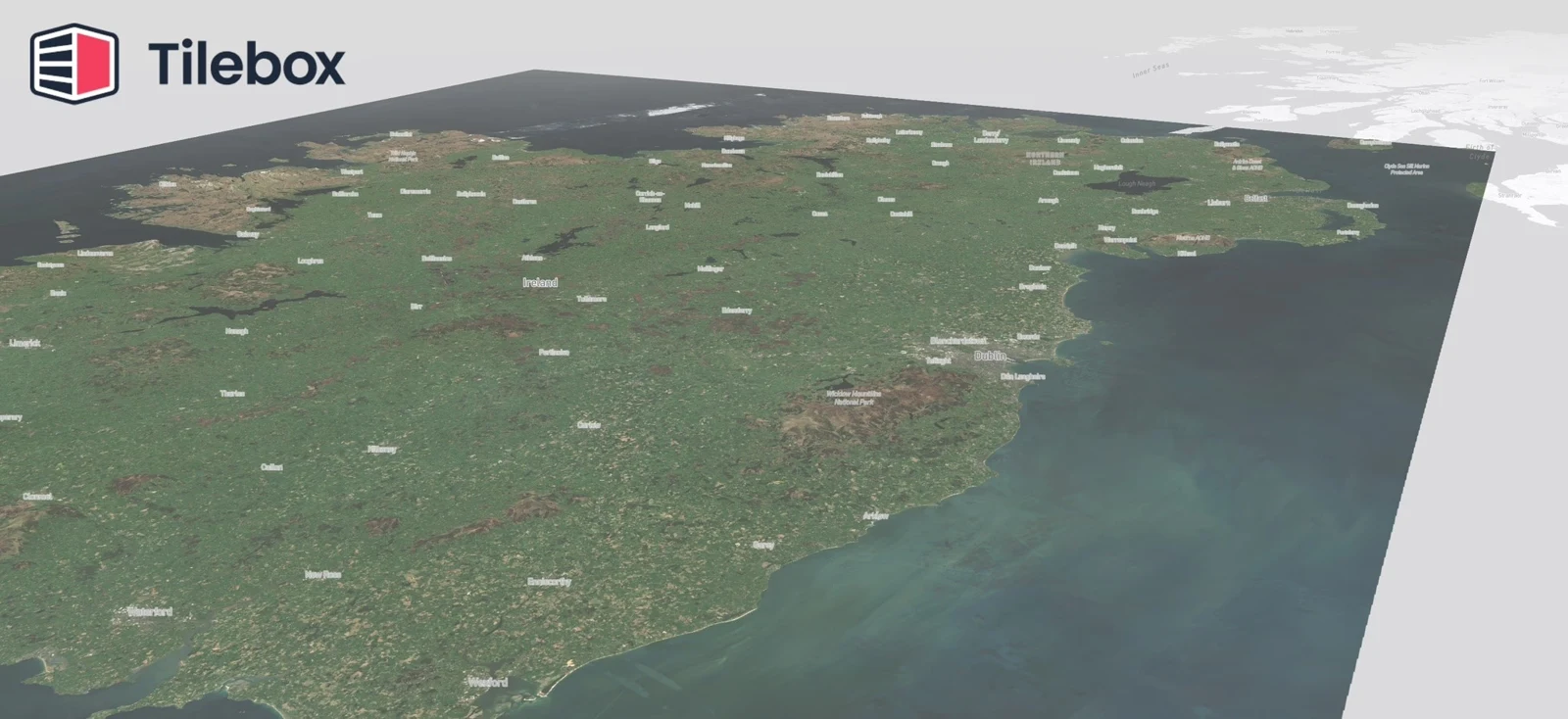
How we built a cloud-free Sentinel-2 mosaic over Ireland using Tilebox Workflows with multi-environment execution, parallel Zarr writes, on 700 granules.

How Tilebox Workflows handle processing failures with built-in resilience through natural checkpoints, re-entrant execution, and versioned task rollouts.
Why general-purpose tools fall short for satellite data pipelines and how a space-data native framework addresses resilience, scalability, and performance.