
Find the data your work needs.
Start with open satellite data, or make your own holdings searchable. Tilebox connects time, location, and metadata to the files behind each observation.
Find the scene
that fits your question.
Search open data by area, time range, and fields such as cloud cover. Tilebox returns matching metadata and asset locations, so you can read the imagery you need.
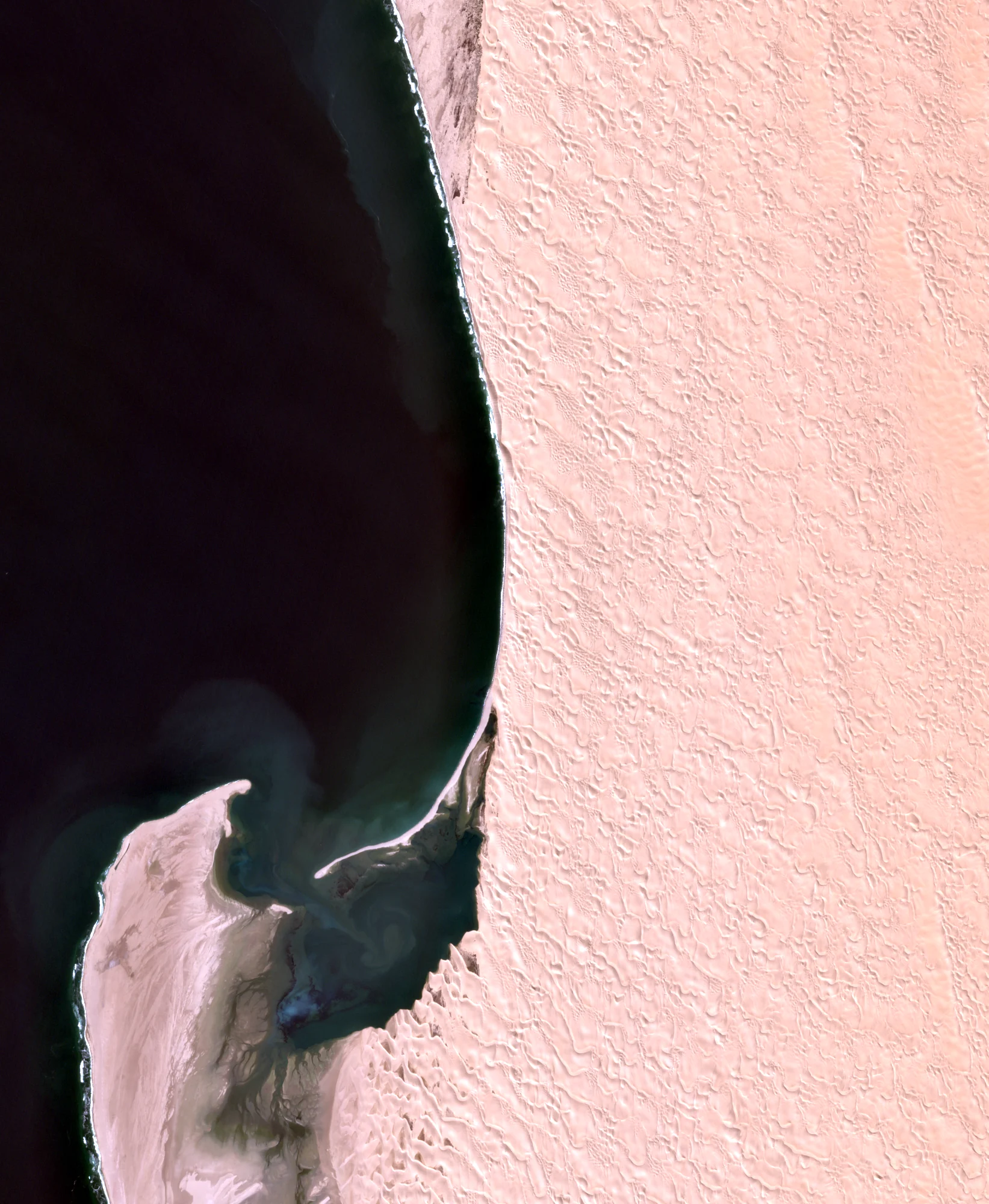
This Sentinel-2 example finds a low-cloud scene over Sandwich Harbour, then reads the red, green, and blue bands from public Cloud Optimized GeoTIFFs.
Reproduce this Sentinel-2 image- Where
- Sandwich Harbour, Namibia
- When
- 17 June 2024
- Cloud cover
- Less than 1%
- Assets
- Red, green, blue · public COGs
open_data.aws_earth.sentinel2
Your catalog.
Your files, where they are.
Bring imagery, derived products, or ground truth into a catalog your team can query. Define the fields that matter, ingest the metadata, and reference the source files as assets.
Tilebox stores the catalog. Your files remain in their original storage.
and asset references
and queryable fields
and analysis outputs
resolve asset locations
You decide what enters the catalog.
Your ingestion code extracts metadata and writes datapoints to Tilebox. Choose a schema and queryable fields that fit your data, and keep the catalog current as new files arrive.
Build your own catalogKeep storage access in your hands.
Asset references describe where files live. Your application or runner uses storage credentials to read them; cataloging a file does not copy it into Tilebox.
How asset references work
Find the inputs.
Choose what happens next.
Read results in a notebook, feed your application, or pass selected scenes into a repeatable workflow. The catalog is useful on its own; orchestration is there when the work repeats.
Let an agent help query and build, with execution on infrastructure you control.