

Sentinel-1 radar imagery, ready day or night
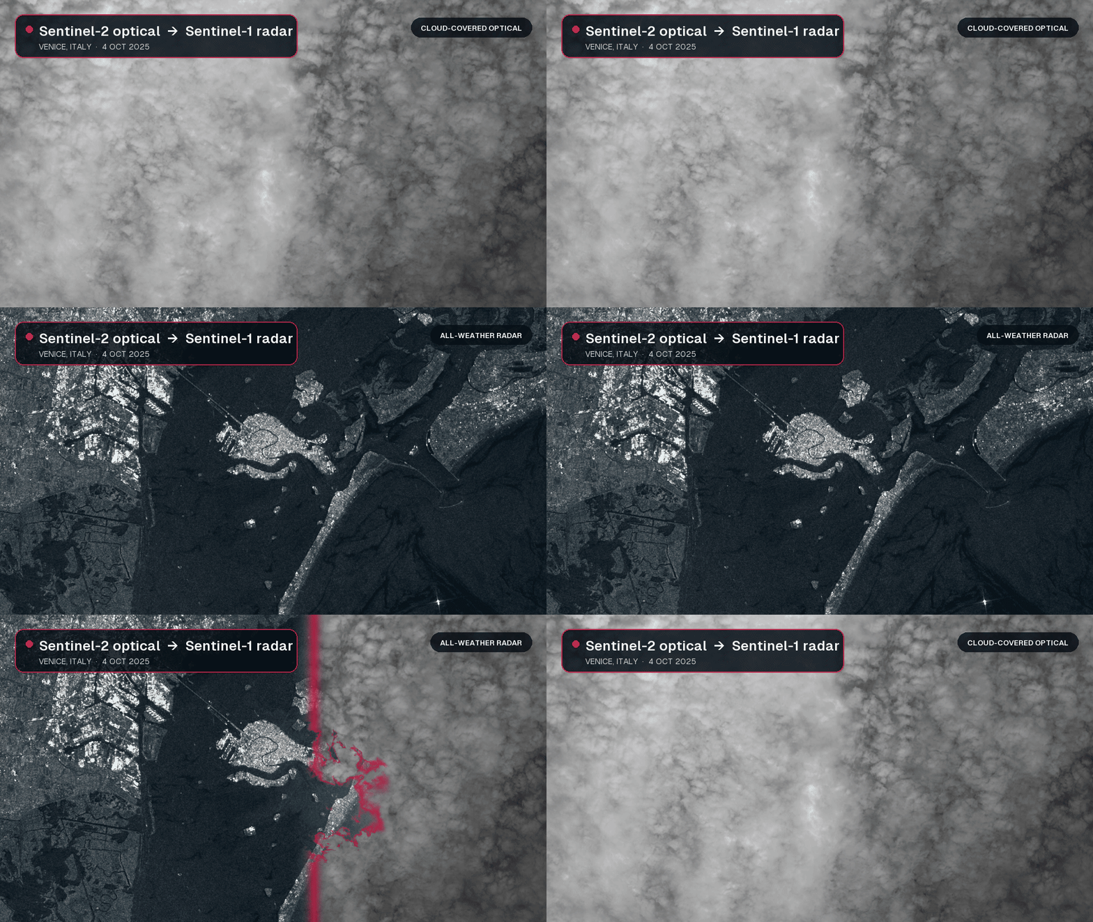
The new open_data.aws_earth.sentinel1 dataset provides credentials-free access to global Sentinel-1 Level-1 Ground Range Detected (GRD) scenes and their public AWS assets. Unlike optical sensors, Sentinel-1 uses synthetic aperture radar (SAR) to observe the surface through clouds and without sunlight, so you can keep analyzing conditions when optical imagery is unavailable.
Query scenes by time, location, or satellite platform, then open the available polarization measurements as Cloud Optimized GeoTIFFs (COGs). Each datapoint also includes acquisition and orbit details, SAR metadata, a preview image, and the product, calibration, noise, and SAFE manifest files needed for further processing.
These consistent, all-weather observations are well suited to flood and disaster mapping, sea-ice and maritime monitoring, forest disturbance detection, and tracking changes in crops, soil moisture, and infrastructure. You can move from a spatial query to a focused pixel read in one workflow, without configuring separate AWS credentials or downloading a complete scene first.